
Looking back on 2.5 years of the GIS Hub.
Kategorie-Archive: GIS Hub
Geoparsing: from place names in text to a map

In this brief blog post, we’ll explain what geoparsing is and how you can use the Python library developed by a former geography student at UZH.
DIY: Linking R with Web Mapping

If you missed yesterday’s workshop with Stefan from ESRI about the R-ArcGIS Bridge, we are happy to share the workshop material with you. You can read the theory part and do the exercises independently.
Was sagen Volksmusik-Sendungen über uns aus?

Volksmusik-Sendungen sind mehr als nur Unterhaltung. Was sie über die Gesellschaft, Kultur und Heimat aussagen, dem geht ein SNF-Forschungsprojekt nach. Wir vom GIS Hub durften fürs Projekt eine Karte der Sendeorte erstellen.
Wie vergleiche ich zwei Punktdatensätze? (III)

Wenn wir Punkte aus zwei Datensätzen pro Zelle zählen, können wir ihre Dichte vergleichen. Indem wir den Chi-Wert berechnen, können wir die aktuelle mit der erwarteten Dichte vergleichen.
Mit Punktdaten arbeiten (II)

In Teil II des Punktdatentutorials lernst du, wie du ein Gitternetz erstellen kannst. Du kannst die Punkte pro Gitterzelle zählen und Dichteoberflächen berechnen.
Punktdaten in QGIS auswählen (I)

Let’s assume: You have imported point data into QGIS and want to analyse it further. This short tutorial shows you step by step how you can filter your dataset based on an attribute or on the spatial location.
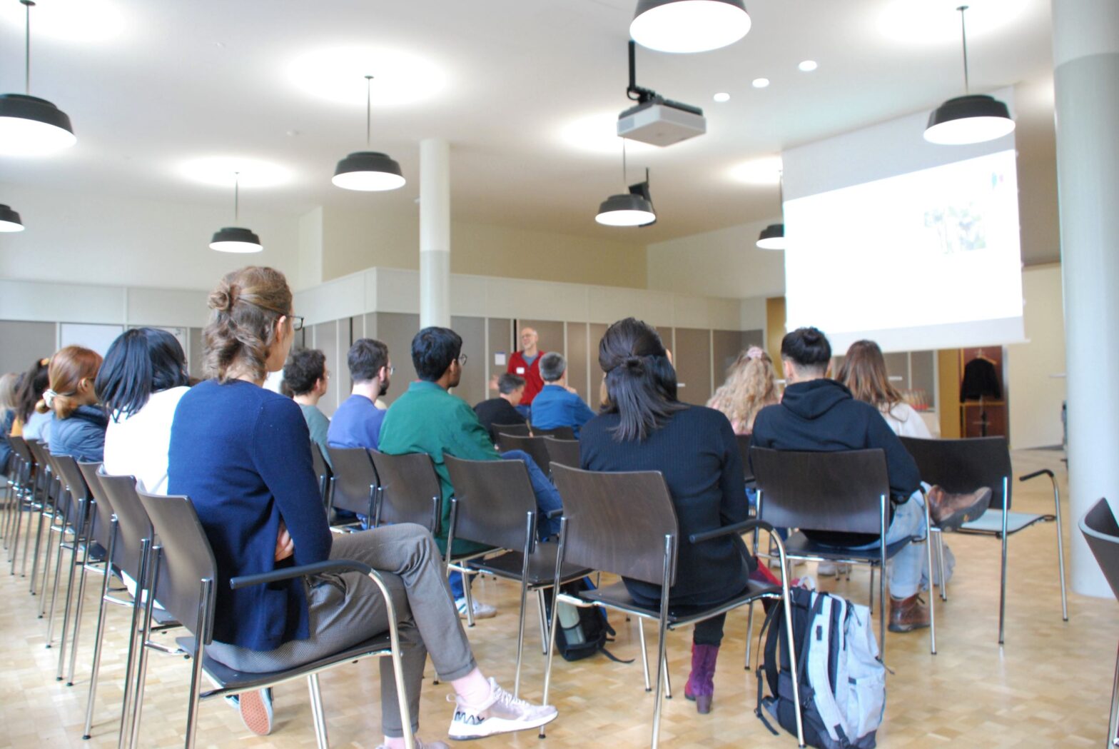
Using GIS to tackle the SDGs

How do companies, NGOs and public institutions monitor their progress towards the sustainable development goals (SDGs), and how can GIS software contribute? Five speakers provided answers from different perspectives at the event “Using GIS to tackle the SDGs”, organized by the GIS Hub and ESRI Switzerland.
GIS Hub officially launched!
On Friday, the 11th of November, we officially launched the GIS Hub together with the participants of the workshop, members of the Advisory Board and the entire GIS Hub Team.