Here you’ll find tutorials. Scroll down for more information on data and infrastructure.
Tutorials

In QGIS, you can add all the layers from the federal geoportal (map.geo.admin.ch) to your project. This tutorial shows you how.

You need a map for a paper or a presentation? This QGIS tutorial shows you how to create a layout for your map with a title, a legend, a north arrow, a scale etc., which you can export as image or PDF.

When we count points of two data sets per cell, we can compare their densities. Generating Chi expectation surfaces allows us to compare actual with expected densities.

This is part II of the point data tutorial for QGIS. It teaches you how to create a grid to calculate a density surface, that is to count the points per grid cell.

Let’s assume: You have imported point data into QGIS and want to analyse it further. This short tutorial shows you step by step how you can filter your dataset based on an attribute or on the spatial location.
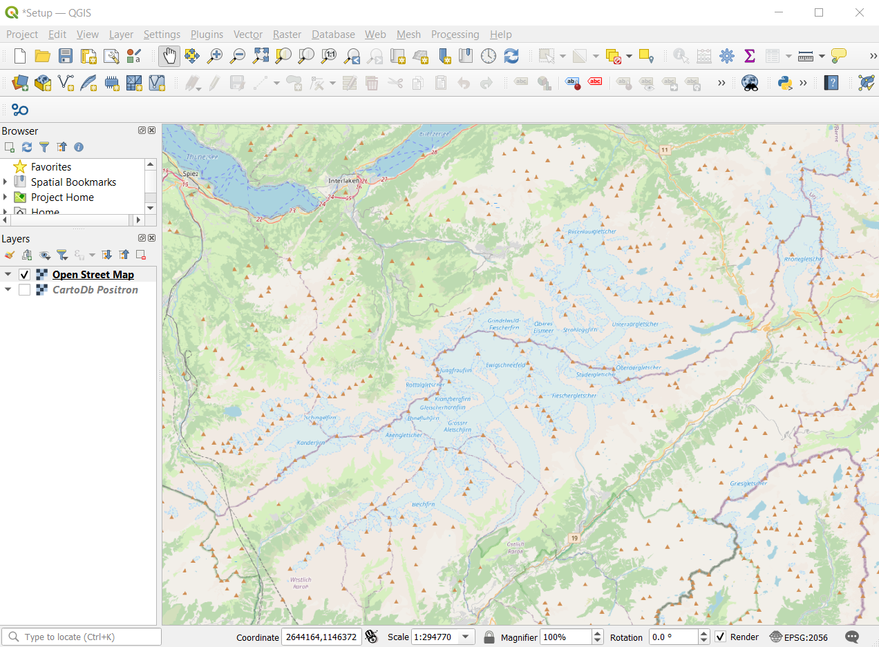
You have spatial data and know what you want to analyse, but how do you start? This short tutorial gets you started and guides you step by step through a project setup.
Minor Spatial Data Science
UZH will launch a new minor in Spatial Data Science (30 ECTS) as of fall 2025. You’ll find more information here.
Infrastructure
– UZH QGIS Cloud
– Request access to ArcGIS Online and ArcGIS Pro with your UZH account (fill in the form in the link and you will get notified once your access has been set up. If you work or study at GIUZ, you can go to uzh.maps.arcgis.com and simply log in with your UZH short name and password.)
Data
Topographic Raster and Vector Maps, Digital Elevation Models and Orthophotos (by GeoVITe, open to all students and researchers at UZH, login via Switch edu-ID)
Open Data Switzerland
This is small selection of open data for Switzerland which you can use to practice:
– Open Data Zürich (by Stadt Zürich)
– Swiss Open Government Data (by the Swiss Federal Statistical Office, FSO)
– Open Data Collection, curated by S. Graf
Some global open data sources
– Overpass turbo, a web-based data filtering tool for OpenStreetMap
– World Bank
– UNESCO
– SprachGIS (in German, “Language GIS”) on regionalsprache.de
– OGD Portal Germany
– OGD Portal Austria
– OGD Portal EU
– OGD Portal UK
– OGD Portal USA
Maps
– Kartenportal.CH: specialist portal for maps from libraries and archives in Switzerland
External Tutorials and other support material for QGIS
– QGIS Beginner Tutorials in our Blog: How to start a new project in QGIS? , Selecting point data in QGIS, Working with point data (II) etc.
– QGIS Cheatsheet (by openschoolmaps.ch)
– QGIS Training Material (by qgis.org, in various languages)
– QGIS Basics Wiki (by Daniel Ursprung)
– QGIS courses at Coursera
– Tutorials for the QGIS Cloud (by Leyla Ciragan)
External Tutorials and other support material for ArcGIS Online
– ArcGIS R Bridge Tutorial (by Stefan Graf from ESRI Switzerland)
– ArcGIS Online for Beginners | Learning Plan (esri.com)
– Essential ArcGIS Online skills | 10 tutorials (esri.com)